
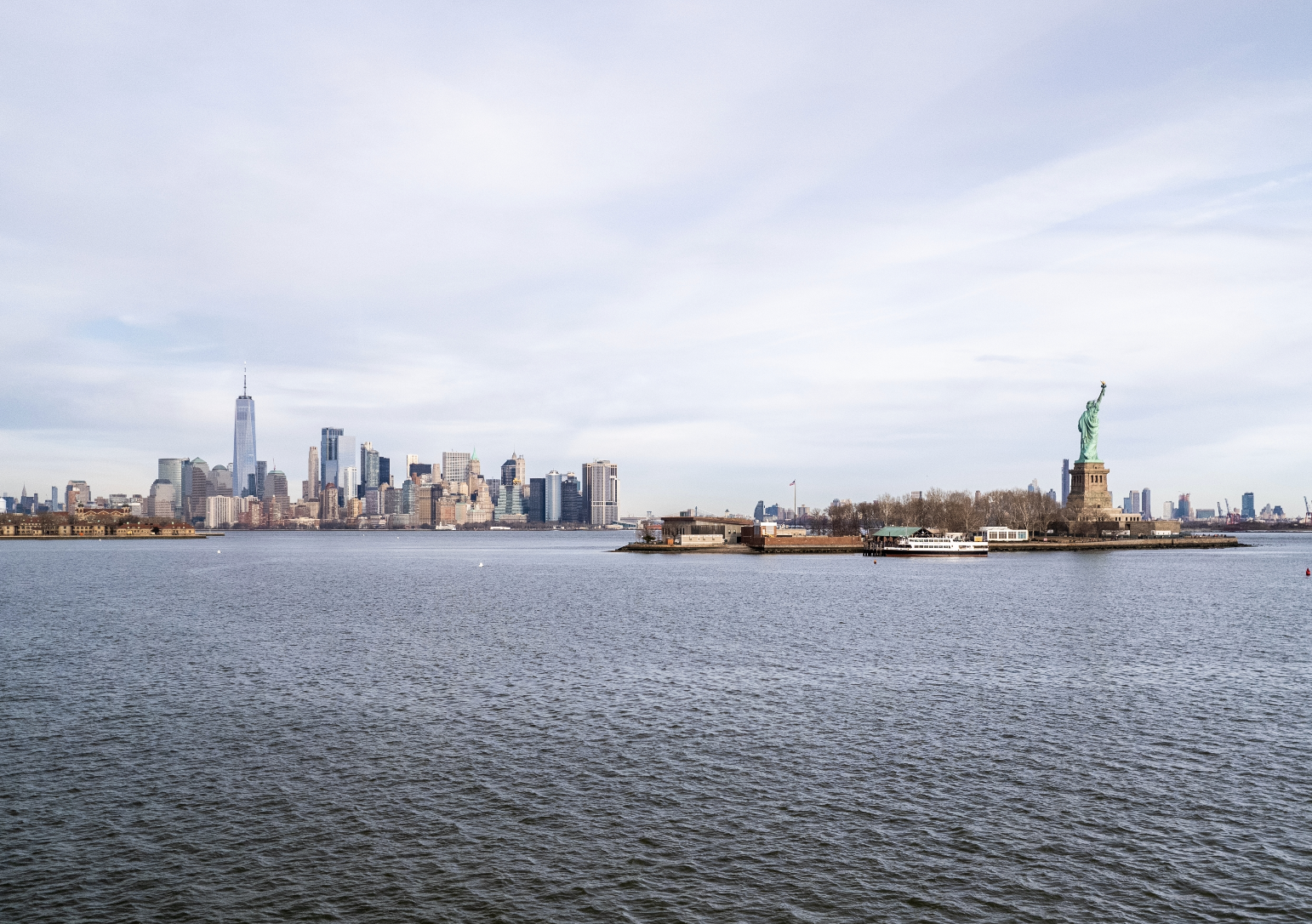
This interactive map shows which parts of NY might soon be under water
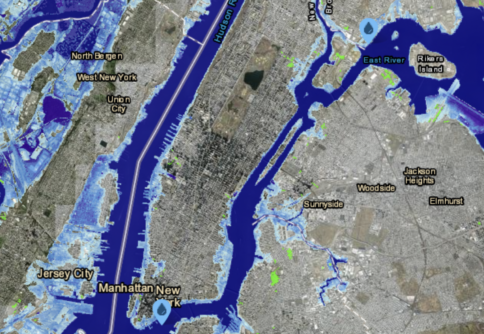
The Sea Level Rise Viewer tool is an interactive map created by the National Oceanic and Atmospheric Administration (NOAA) that does two things: it shows users how ocean level may shift across the region now through 2021 and it also fills you with much anxiety after playing around with it for a few minutes.
There are a bunch of different tools to play around with. You could either see which areas would mostly be affected by specific rising sea levels (parts of lower Manhattan shine when increasing the water unit to three feet) or look through local scenario predictions. By the year 2040, for example, the ocean around Manhattan will likely rise by a little over a foot. That number jumps to over 5 feet when looking at the year 2100.
One more option: analyzing data based on best versus worst-case scenarios. As reported by SILive.com, the best-case scenario in Montauk in 2100 shows a 2.49-foot rise and on the other end of the spectrum is a 6.66-foot increase. Westhampton and Hamilton Beach will also be the sites of receding coastlines.
The southern part of Long Island and New York communities right by creeks and rivers are also “in peril.”
According to Newsweek, a sea level rise of under six feet would result in half of LaGuardia Airport being submerged by the East River “as would the streets immediately bordering Manhattan’s current waterfront and the Hudson River Greenway.”
Although the interactive map is just a predicting tool, the problems that it analyzes are the sorts of issues that the local government has been warning about and trying to deal with for years now.
Back in May, for example, the Mayor’s Office of Climate and Environmental Justice and the New York City Panel on Climate Change (NPCC), an independent board that analyzes local environmental impact, released a new report warning that NYC will see an increase in the frequency and duration of hotter-than-average days and overall rainfall. The survey also warned against the risks stemming from the latter changes—including rising sea levels.
According to the report, see levels in New York will continue to rise between half-a-foot and just over a foot all the way through the 2030s—basically re-affirming the NOAA’s findings.
We’re not here to panic, but we’re sure hoping that officials are thinking of ways to mitigate the effects of climate change.