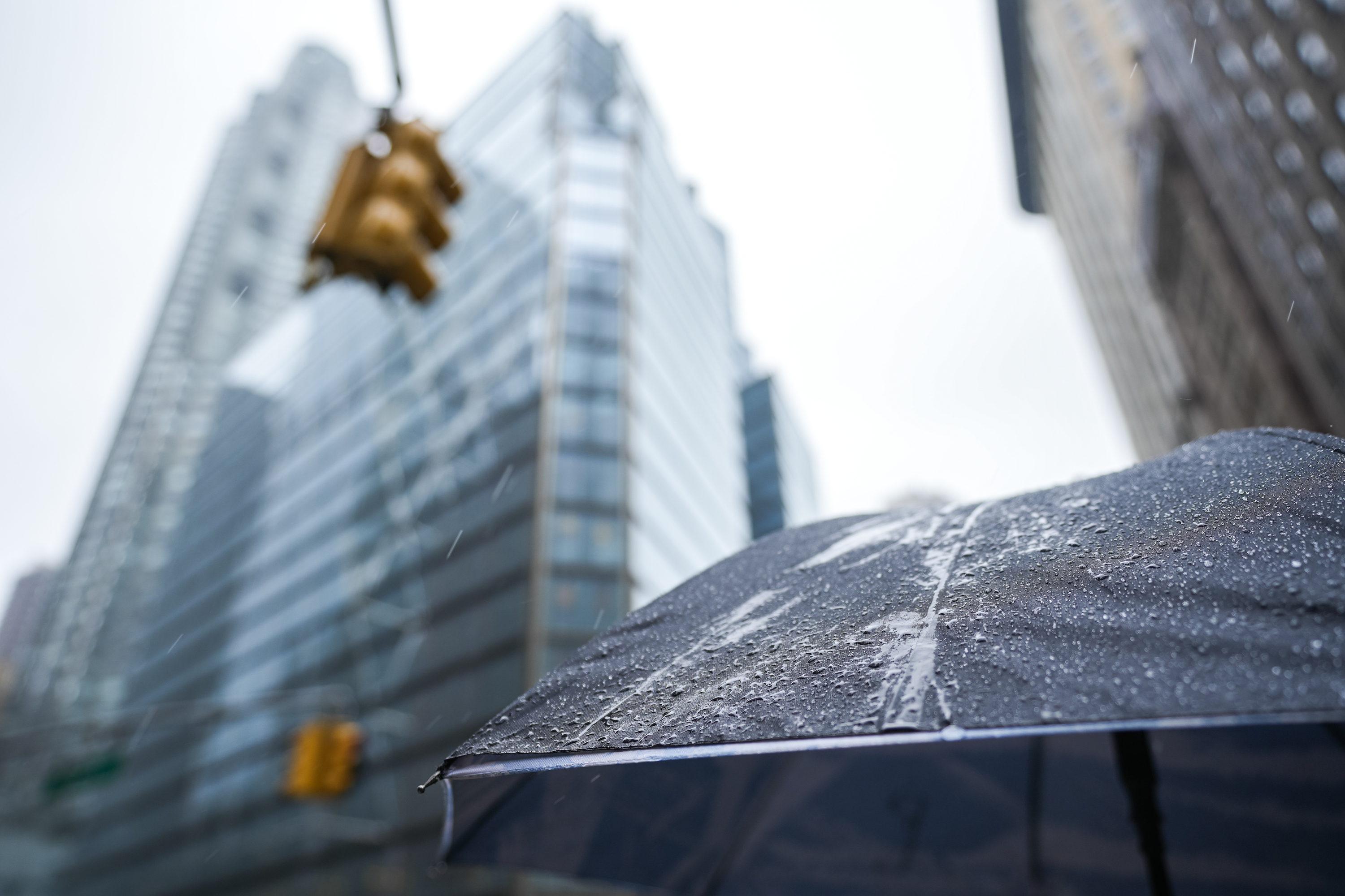
A rain storm is (finally!) approaching New York

One of the longest dry spells in the history of New York is about to come to a close: meteorologists are predicting a substantial amount of rain will descend upon the New York area starting Wednesday night into Thursday.
Given the massive risk of brush fires as a result of the arid weather and the currently-in-place burn ban across New York State, any amount of rain should bring at least some respite to area residents and state agencies.
In addition to the precipitation—which, according to AccuWeather senior meteorologist Bob Larson, as reported by SILive.com, will last six hours—New Yorkers can also expect colder temperatures.
“It’s not a full-fledged storm,” the weatherman said to the outlet. “It’s not a nor’easter, it’s nothing along those lines. It’s just a cold front that swings through and will bring some rain. The bottom line is any rain at this point will be very helpful—given the extreme dryness that we’ve been enduring.”
The expert also revealed that a smaller storm will likely develop along the cold front in a few days, bringing more rain to the north of New York City closer to Friday. It might even end up snowing in those areas, including the lower Hudson Valley and the suburbs of New York. But don’t get too excited: we’re just talking about a few flurries and not an all-out storm.
Moving forward, though, we should get used to overall colder temperatures, with highs in the mid 30s and a wind chill that will make it even colder. Although it’s too soon to fully analyze the weather patterns that will define our Thanksgiving, Larson tells the outlet that it’s likely going to be cold by then.
“I don’t see it being exceptionally warm and bone dry that whole week,” he said to SILive.com.
Who knows? We may treated to a white Christmas, after all!